Before undertaking any significant construction/development project or environmental improvement project, it may be necessary to perform a topographic land survey to identify various features and elevations of the land. Point to Point Land Surveyors, Inc. has many years of experience in conducting these surveys with remarkably accurate results.
What Is A Topographic Land Survey?
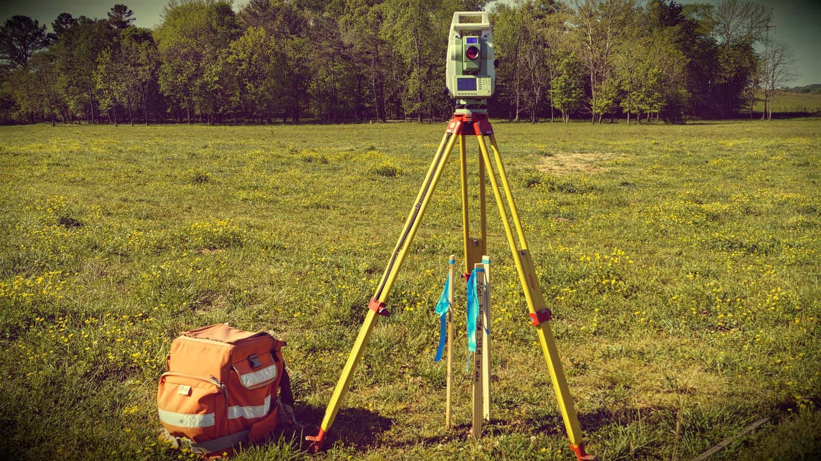
While the standard land survey deals primarily with marking out the boundaries of a parcel of land, a topographic survey is primarily concerned with noting the natural and manmade features on the land itself. These may include hills, ravines, streams, trees, fences, buildings, and other improvements over the natural state of the land. A topographic survey shows the location, size, and height of these types of improvements, as well as gradual changes or contours in elevation. Unlike boundary or residential land surveys, a topographic land survey focuses more on elevation than on horizontal measurements. Most of these measurements are taken either with a surveying-quality GPS unit, or with an electronic EDM instrument. The results of the topographic survey are not marked using stakes or other landmarks, but are instead drawn as contour lines on a map of the land (topographic surveys are sometimes called contour surveys). Today, sophisticated computer programs allow for digital versions of these maps, as well as interactive elevation views of the land. The data may be used in CAD programs, where it can be manipulated by engineers or architects to demonstrate how the topography will change through planned improvements.
When Are Topographic Surveys Needed?
Topographic land surveys have many uses. Nearly all construction projects begin with a topographic land survey, which describes the starting point of the land before improvements are made. Engineers and architects use them as an aid in designing buildings or other improvements to be situated on the property, as existing features may influence their design or decisions on where structures can and cannot be placed on the property. Topographic surveys may also be used when creating plans for drainage ditches, grading or other features, using the natural landscape as the basis for such improvements. Government agencies may also require topographic surveys for any of a number of reasons—for example, as regulatory requirements for construction codes, or as part of environmental restoration projects.
Topographic land surveys are also useful when a parcel of land that was previously in use is being redeveloped—for example, an abandoned quarry or landfill, a site where a building was demolished, or on a site where the topographic data is changing. In these cases, a topographic survey provides an accurate view of how the land has been changed by its use, allowing for better planning for future use.